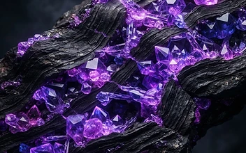
Beyond the Surface: Decoding Geological Potential
Modern lithium exploration is a sophisticated exercise in pattern recognition. For decades, the industry relied on surface-level sampling in known salt flats. Today, the scope has expanded to identify hidden hard-rock pegmatites and deep-seated brines that were previously inaccessible or overlooked. The mission of the modern explorer is not merely to find lithium, but to delineate deposits that offer long-term viability and sustainable extraction profiles.
The Technological Toolkit
Contemporary geological surveys utilize a multi-layered approach to minimize environmental disruption while maximizing data fidelity:
- Remote Sensing and Multispectral Imaging: Satellites equipped with advanced sensors detect unique spectral signatures of lithium-bearing minerals, such as spodumene or lepidolite, long before a drill bit touches the earth.
- Geophysical Tomography: Electromagnetic surveys provide a window into the subsurface, mapping conductive brine bodies with high precision to understand aquifer connectivity and flow dynamics.
- Geochemical Fingerprinting: By analyzing trace element ratios in soil and groundwater, geologists can trace the geological 'source rocks' that concentrate lithium over millions of years.
The Role of Precision in Sustainability
Exploration is the first safeguard against inefficiency. When we refine our understanding of a lithium deposit at the exploration stage, we significantly reduce the energy and water intensity of future production. By utilizing 3D geological modeling, operators can better predict the grades and recovery rates of the ore or brine. This precision ensures that we target only the most viable resources, effectively narrowing the gap between raw geological potential and industrial-scale energy storage solutions.
Navigating Global Geographies
Lithium is not rare, but its economic concentration is specific. From the volcanic arcs of the Andes to the ancient cratons of North America and Western Australia, the geological contexts vary widely. Each region demands a tailored strategy: while evaporitic basins require a deep understanding of hydrogeology, pegmatite-hosted deposits necessitate advanced mineralogical testing to determine the purity and structural integrity of the crystal. By diversifying our exploration efforts globally, we strengthen the foundation of the supply chain, moving away from localized bottlenecks toward a stable, globalized resource base.
Why it Matters
Lithium exploration represents the critical first step in decoupling human prosperity from combustion-based energy. By scientifically mapping these resources today, we are effectively underwriting the infrastructure of the coming century. This process is not about short-term yield, but about establishing the permanent, reliable resource base required for a decarbonized global economy, ensuring that the materials required for high-density energy storage are identified, quantified, and secured with scientific rigor.